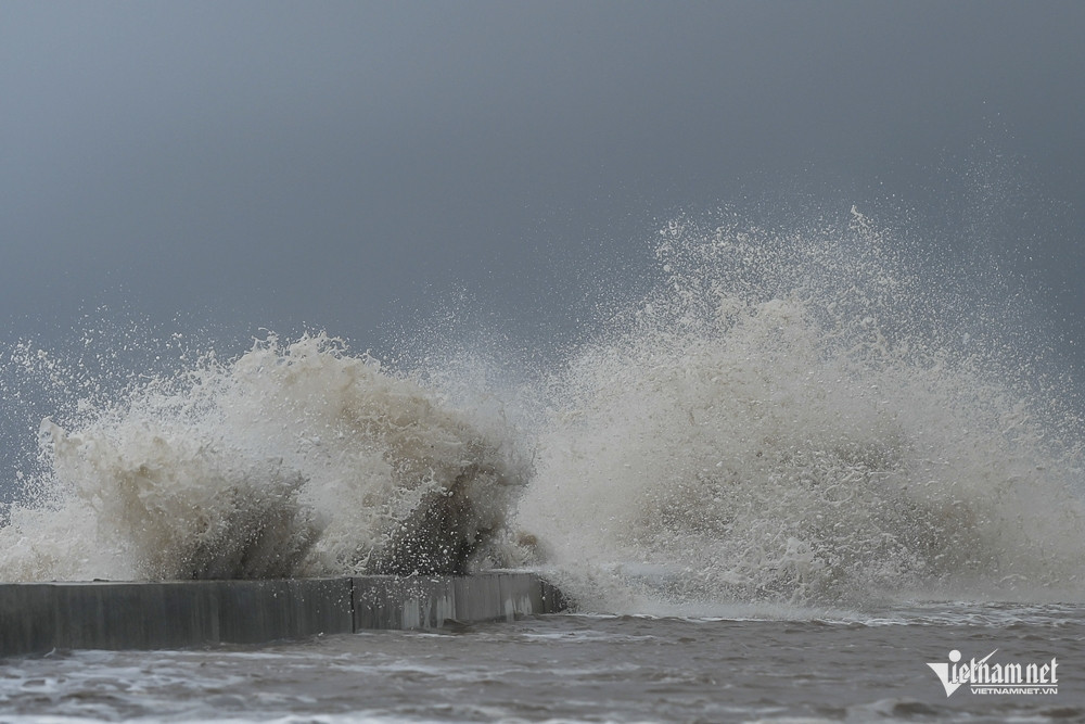
Station on the afternoon of December 3.
In its general weather outlook, the station noted that a cold air mass continues to push southward into the northern and north-central regions of Vietnam over the next 24 to 48 hours.
Meanwhile, the tropical depression - formerly Typhoon Koto (Storm No.15) - has weakened into a low-pressure system and moved into the coastal waters off Đắk Lắk and Khánh Hòa provinces.
In the upper atmosphere, a subtropical high is shifting westward across North Central Vietnam, while weak easterly wind disturbances continue to influence weather in the southern region. Over southern waters, northeast monsoon winds are gradually strengthening.

From December 3 to 10, the cold air mass is expected to intensify, then stabilize before gradually weakening. However, around December 7–8, another wave of cold air is forecast to shift eastward again.
New storm possible around Dec 7–9
Of particular concern, a tropical depression currently located east of central Philippines may enter the East Sea between December 7 and 9 and strengthen into a storm, meteorologists warned.
An expert from the National Center for Hydro-Meteorological Forecasting echoed this outlook, confirming the center is closely monitoring the tropical disturbance off the Philippines and expects it to move into the East Sea around December 7 or 8.
Following the weakening of Typhoon Koto, experts predict that 1 to 2 more tropical storms or depressions may form over the East Sea this December. Historically, storms forming this late in the year tend to impact South-Central and Southern Vietnam.
Bao Anh